
Our Services
Explore our range of specialized solutions designed to meet your unique business needs.
Explore our range of specialized solutions designed to meet your unique business needs.
Advanced drone-based surveying and aerial intelligence solutions designed to deliver highly accurate geospatial data for infrastructure, mining, construction, and land development projects.
High Precision Aerial Intelligence
Our UAV mapping technology helps organizations reduce survey time from weeks to hours while maintaining centimeter-level accuracy. We provide orthomosaic imagery, 3D terrain models, volumetric analysis, contour mapping, and digital twin generation for smarter planning and decision-making.
From large-scale infrastructure projects to industrial inspections and mining operations, our drone solutions improve efficiency, reduce operational risks, and provide real-time visual intelligence for modern businesses.

Intelligent digital land-base management systems developed for municipalities, urban development authorities, and smart city initiatives.
Urban Infrastructure Mapping
Our e-LBS platform enables detailed land parcel mapping, building surveys, utility mapping, and GIS-based property management for efficient governance and urban planning.
The system simplifies tax assessment, land record management, infrastructure monitoring, and public asset tracking while improving transparency and operational efficiency for local authorities.

End-to-end fiber network mapping and telecom infrastructure intelligence solutions for broadband and communication providers.
Telecom Network Intelligence
We help telecom companies manage large-scale optical fiber networks with accurate GIS mapping, underground cable tracing, route optimization, and asset digitization.
Our solutions improve network planning, maintenance workflows, fault detection, and infrastructure monitoring while enabling faster deployment and operational scalability.

Smart electrical asset mapping and consumer indexing solutions for power distribution and utility management companies.
Smart Power Infrastructure
Our advanced GIS-enabled systems assist DISCOMs in managing LT/HT networks, transformers, poles, feeders, and electrical infrastructure with greater accuracy and visibility.
By integrating digital asset mapping with consumer indexing and analytics, we help utility providers improve operational efficiency, reduce losses, and optimize maintenance operations.

Intelligent GIS solutions for piped natural gas networks, utility infrastructure monitoring, and city gas distribution systems.
Smart Utility Network
We provide accurate PNG network mapping, underground pipeline tracking, utility asset digitization, and risk management solutions for gas distribution companies.
Our technology enhances operational safety, network monitoring, maintenance planning, and infrastructure visibility while supporting future-ready smart utility ecosystems.

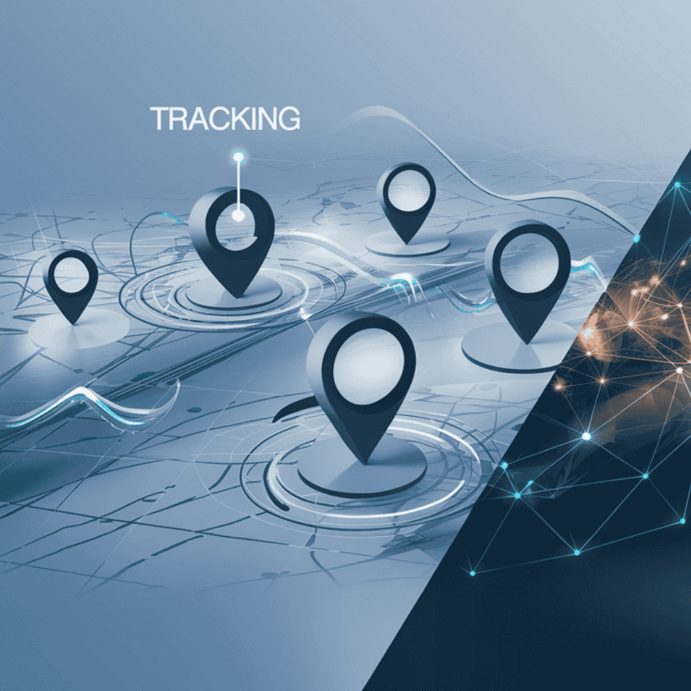
Advanced employee tracking and vehicle navigation systems designed to improve operational monitoring, logistics management, and workforce safety.
Logistics & Workforce Monitoring
Our intelligent tracking systems enable real-time monitoring of employee movement, fleet operations, field activities, and transportation assets across industrial and enterprise environments.
With integrated navigation, geofencing, and analytics capabilities, businesses can improve workforce productivity, optimize routes, and strengthen operational safety standards.
Modern digital survey and field intelligence solutions built for public services, emergency operations, and government organizations.
Government & Public Sector Solutions
Our survey systems support data collection, personnel tracking, field verification, and operational monitoring for healthcare departments, public agencies, and law enforcement teams.
Designed for real-time decision-making and rapid deployment scenarios, our platforms improve coordination, reporting accuracy, and field-level visibility during critical operations.