
13+ Years of
Innovation
Innovation
About MultiMind Creations
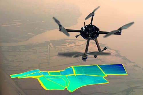
Precision Engineering for a Spatial Future
Founded in 2012 by Shri Ajit Kumar Pandey, Multimind Creations & Associates (MMC&A) is a multi-faceted team of over 250 technocrats specializing in urban planning and GIS technologies.
With 13+ years of industry experience and 100+ projects delivered, we bridge the gap between physical reality and digital data. We apply advanced GIS technologies across multiple sectors—including Drone Surveys, Telecom, and Utility Services—for global leaders like Reliance Jio, Airtel, TATA Consulting Engineers, and various Urban Local Bodies (ULBs).